
ABOUT ALTISPEX
Professional drone
capture, planned around
the purpose.
Altispex is a Southern Ontario drone-imaging company providing professional aerial photography, video, and visual documentation for businesses, individuals, properties, and projects.
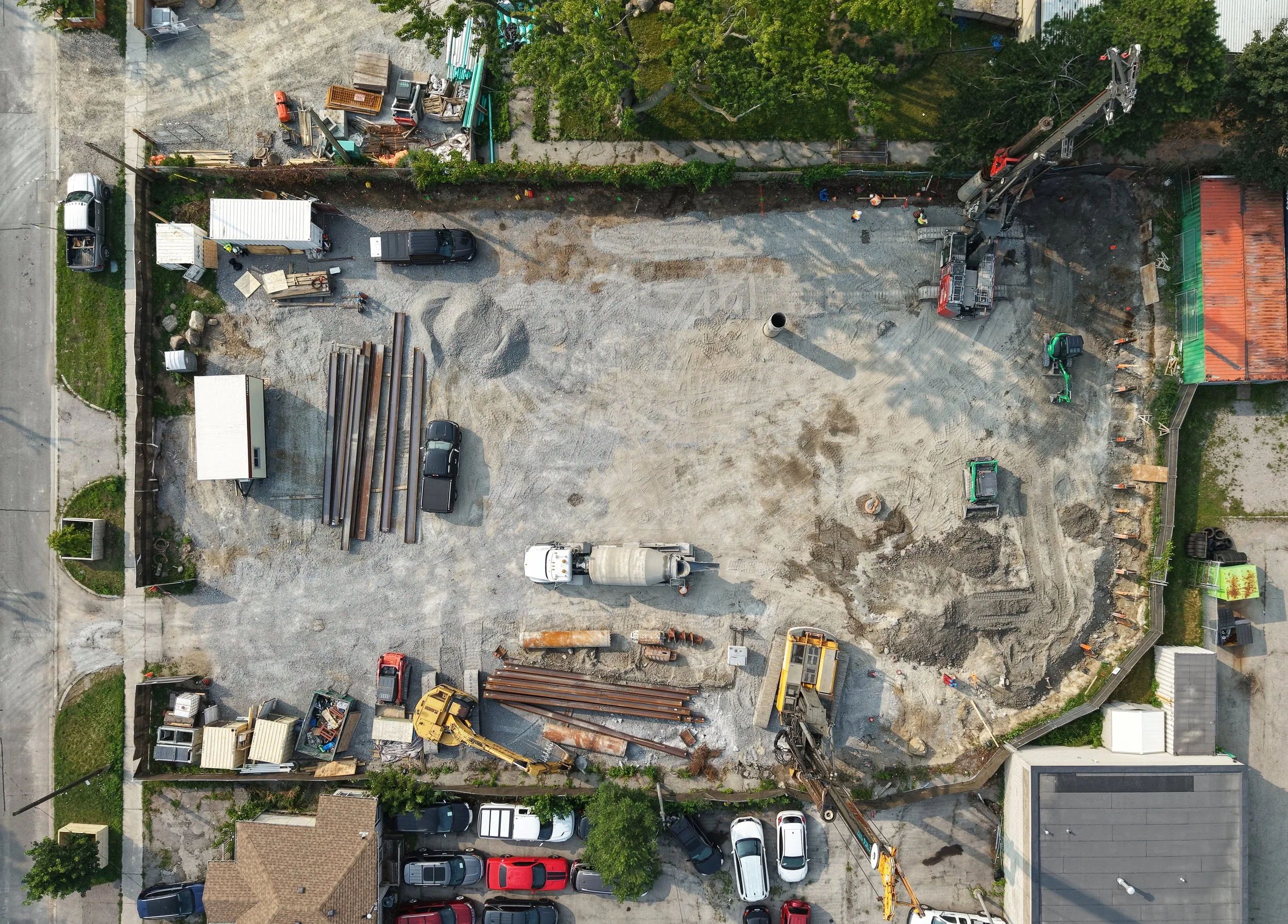
From focused roof imagery
to broader aerial services.
Altispex began by using drones to document visible roof conditions, capturing clear images that reduced site visits and helped teams make better decisions.
That work revealed a broader need. The same businesses that needed roof imagery also needed high-quality photos, videos, and organized documentation for properties, projects, and ongoing operations.
Today, we offer professional aerial photography, video, and structured visual records that support marketing, planning, progress tracking, and day-to-day property management.
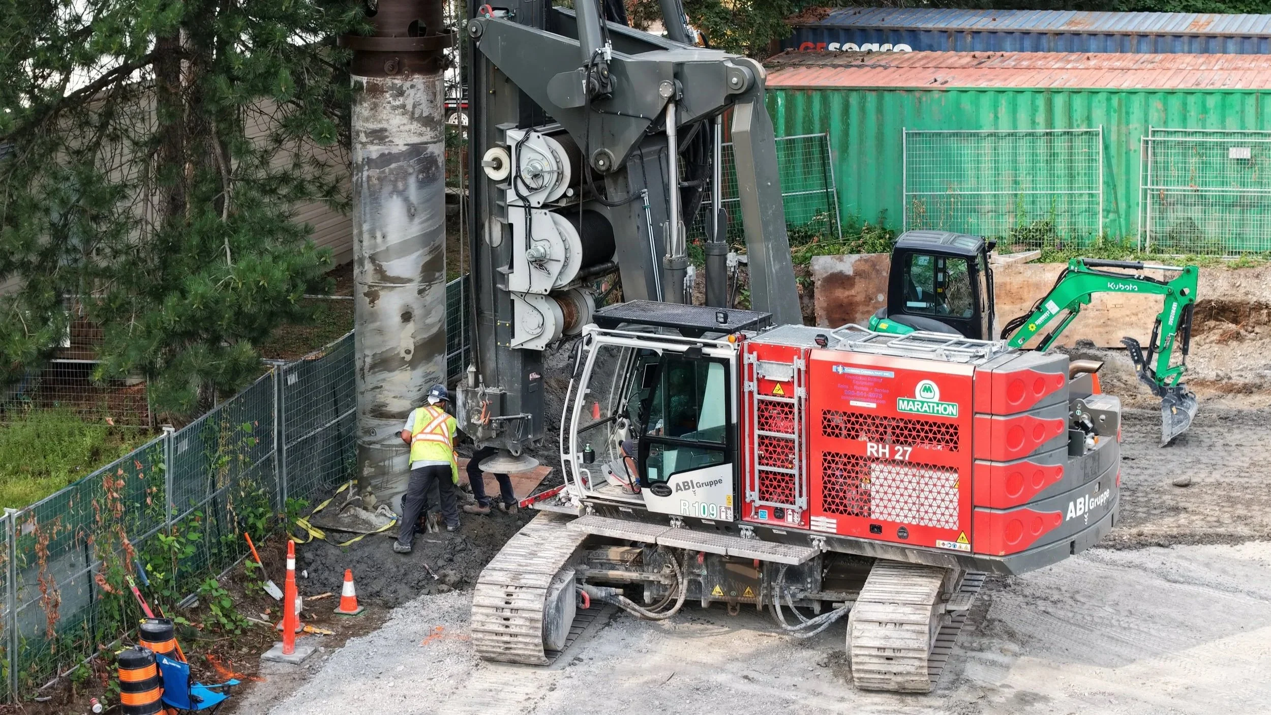
What guides our work
Purpose before flight
We start with your goals to
capture what matters most
and avoid what doesn’t.

Useful and visually strong
We deliver clear, high-resolution imagery that’s accurate,
consistent and ready to use.

Clear delivery
Organized files, simple naming,
and quick turnaround so
your team can move forward.

Honest scope
We recommend what will help,
set realistic expectations, and
only capture what adds value.
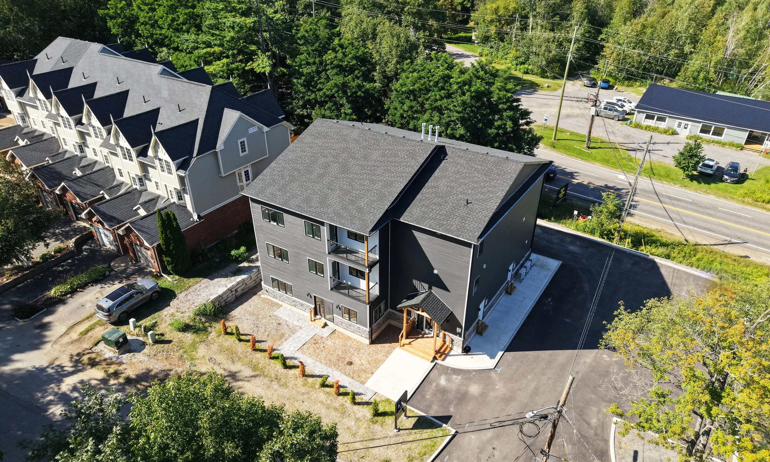
How we work with clients

01
Define the purpose
We learn about your project, timeline, and key deliverables so we can focus on what you need.
02
Plan the capture
We review the site, check conditions, and schedule the flight for the best results.
03
Deliver useful files
You receive organized, easy-to-use images and video that support your work right away.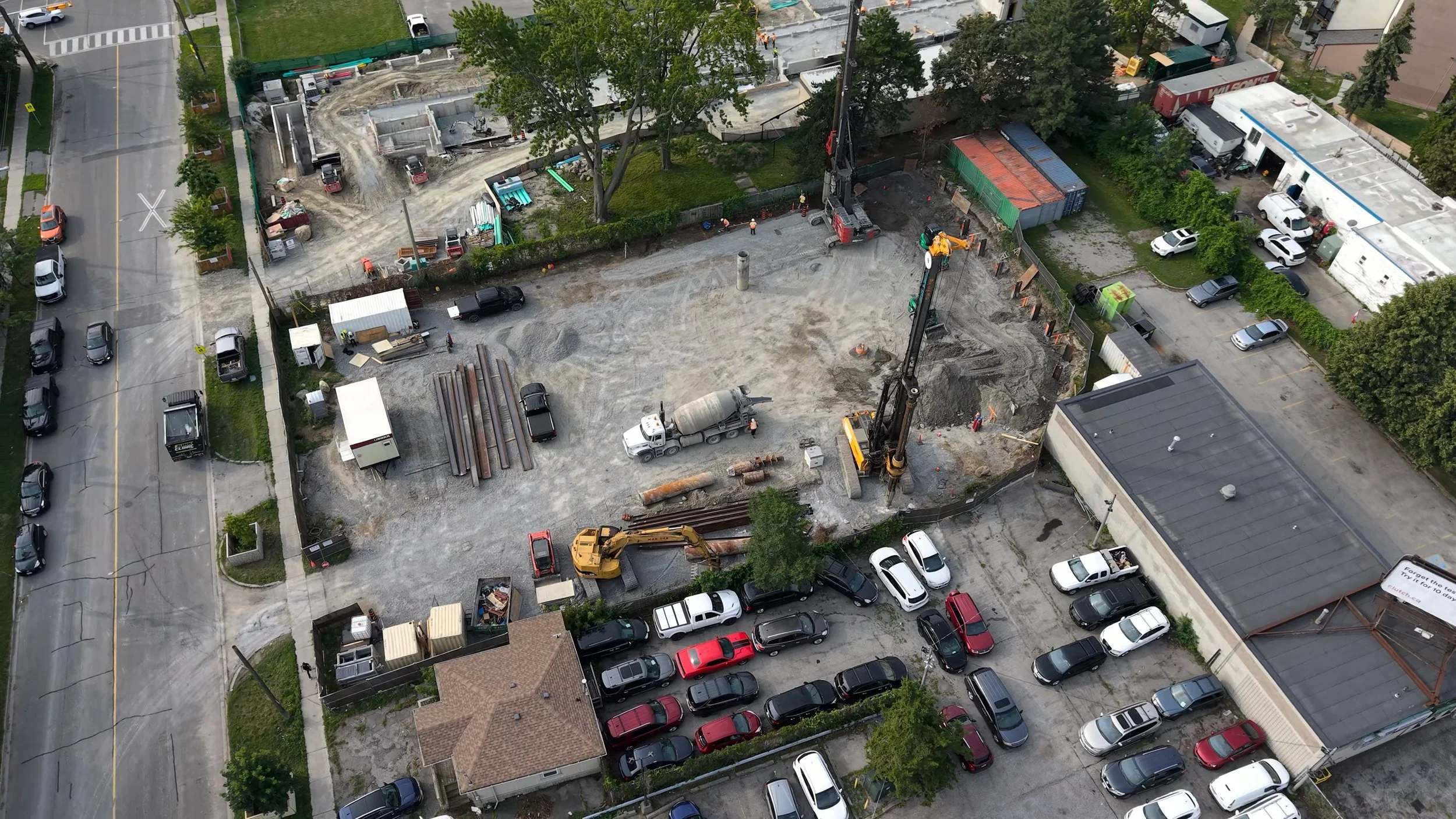
Responsible operations
Safety, privacy, and respect for each site guide how we work. We plan every flight with conditions in mind and adjust when needed to protect people and property.
We assess the site and surroundings.
Location
We check the controlled airspace and local rules.
Airspace
We monitor wind, rain, and temperature.
Weather
We confirm permissions and safe access.
Access
We operate with care and keep safety first.
Safe operation
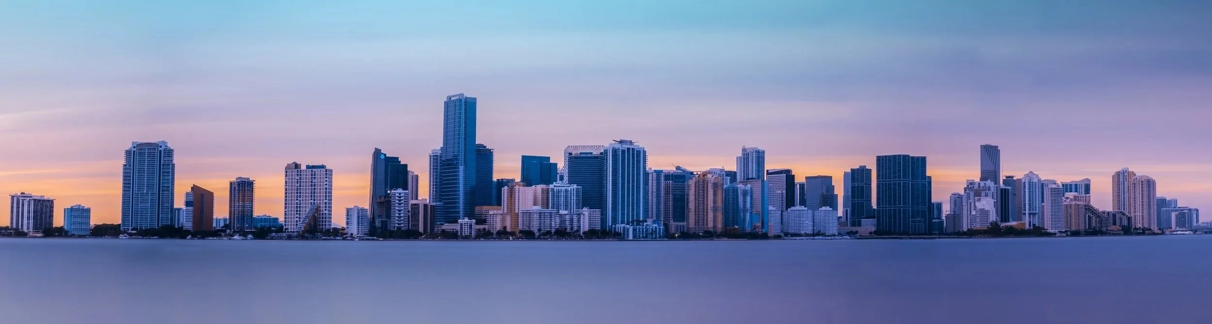
Based in Southern Ontario.
Toronto | Oakville | Mississauga | Burlington | Hamilton | Surrounding communities
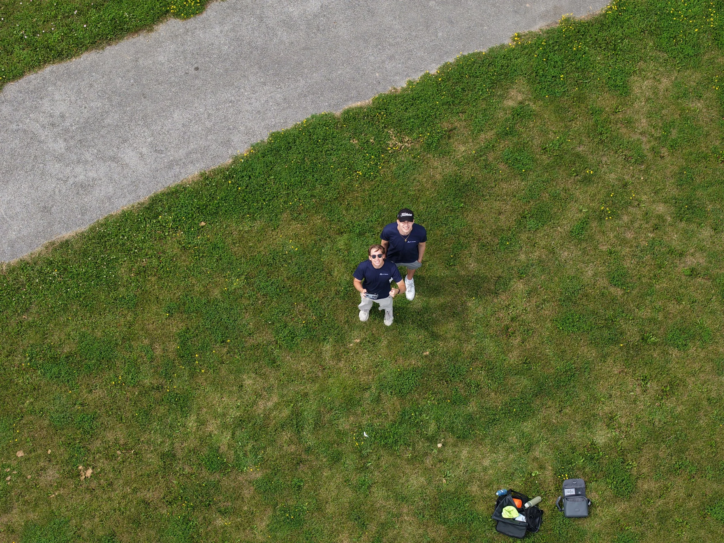
The people behind each project
Every project is supported by a small experienced team that combines careful planning, professional flight operations, and organized delivery.
We work behind the scenes so you get clear results that help you move forward.
Have an idea for an aerial project?
Let’s talk about your goals and how we can help capture what matters.