
SERVICES
From cinematic aerial footage to clear, detailed documentation, Altispex captures valuable views that are difficult to achieve from the ground.
Whether you need promotional content, construction progress updates, property imagery or exterior documentation, we deliver professional, high-resolution photos and video tailored to you.
Drone services
planned around what you need to capture.
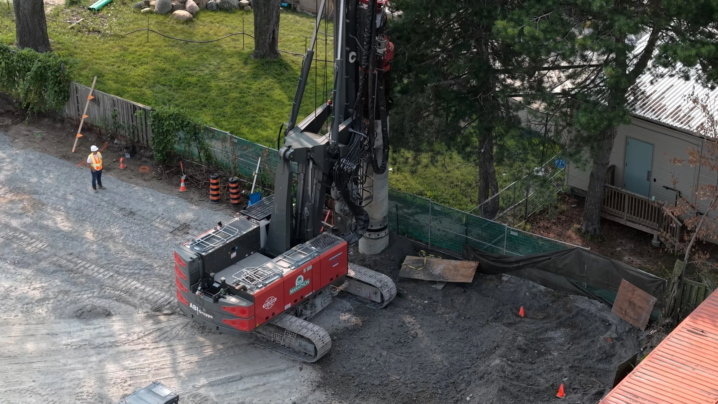
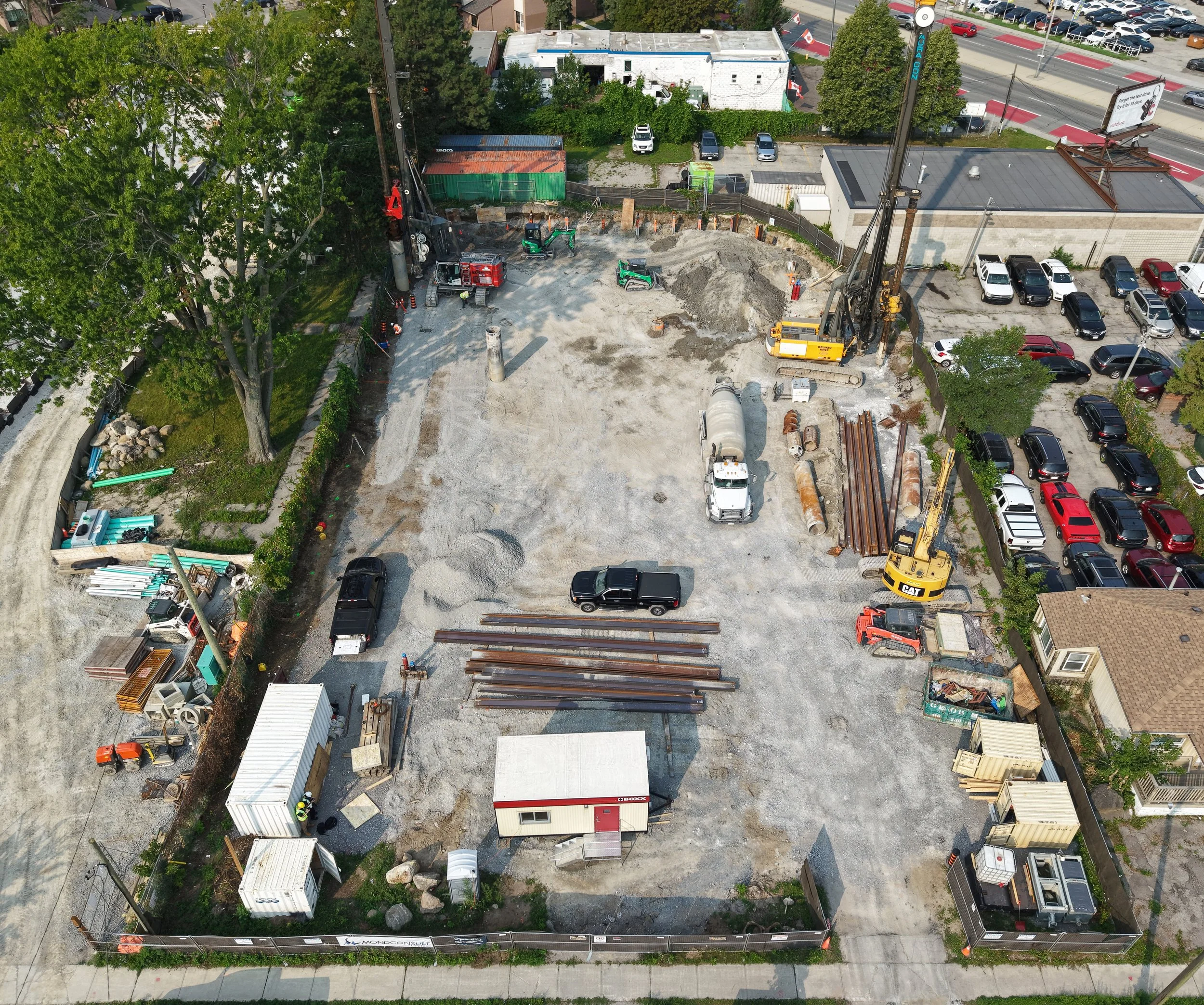
Drone Photography & Aerial Video
Common uses
Property overviews
Progress updates
Establishing context
Before & after captures
High-resolution photos and video that provides a clear, accurate view of your property or project from above.
Project deliverables
High-resolution photos
4K video
Aerial overview sets
Raw files upon request
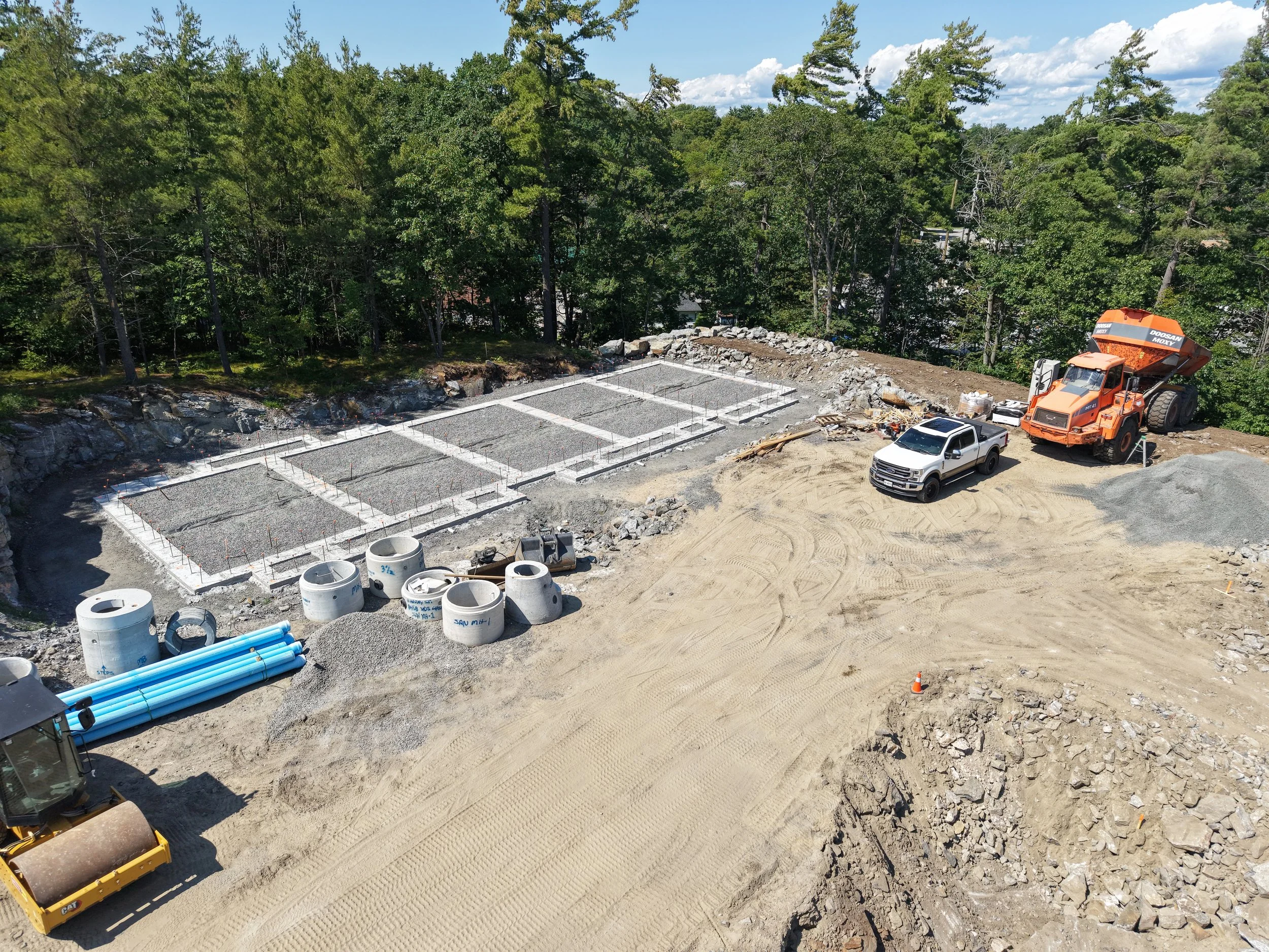
Marketing, Real Estate & Promotional Media
Common uses
Marketing materials
Website & social media
Listings & brochures
Investor presentations
Engaging imagery that showcases properties, listings, places, and developments in the best light.
Project deliverables
Curated photo sets
Short-form videos
Lifestyle & context shots
Vertical formats
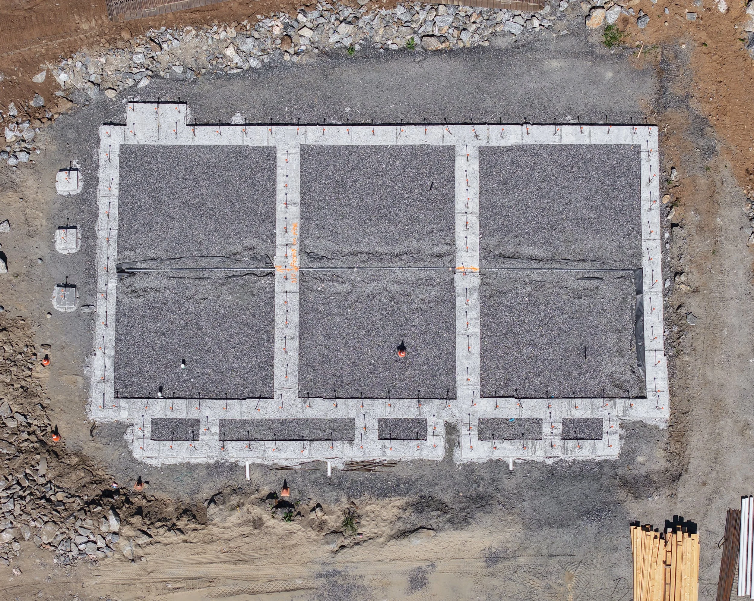
Construction Progress &
Project Documentation
Detailed visual records that track progress and keep projects moving forward.
Common uses
Regular progress updates
Stakeholder reporting
Schedule tracking
Milestone documentation
Project deliverables
Time-stamped photo sets
Progress videos
Consistent view points
Organized galleries
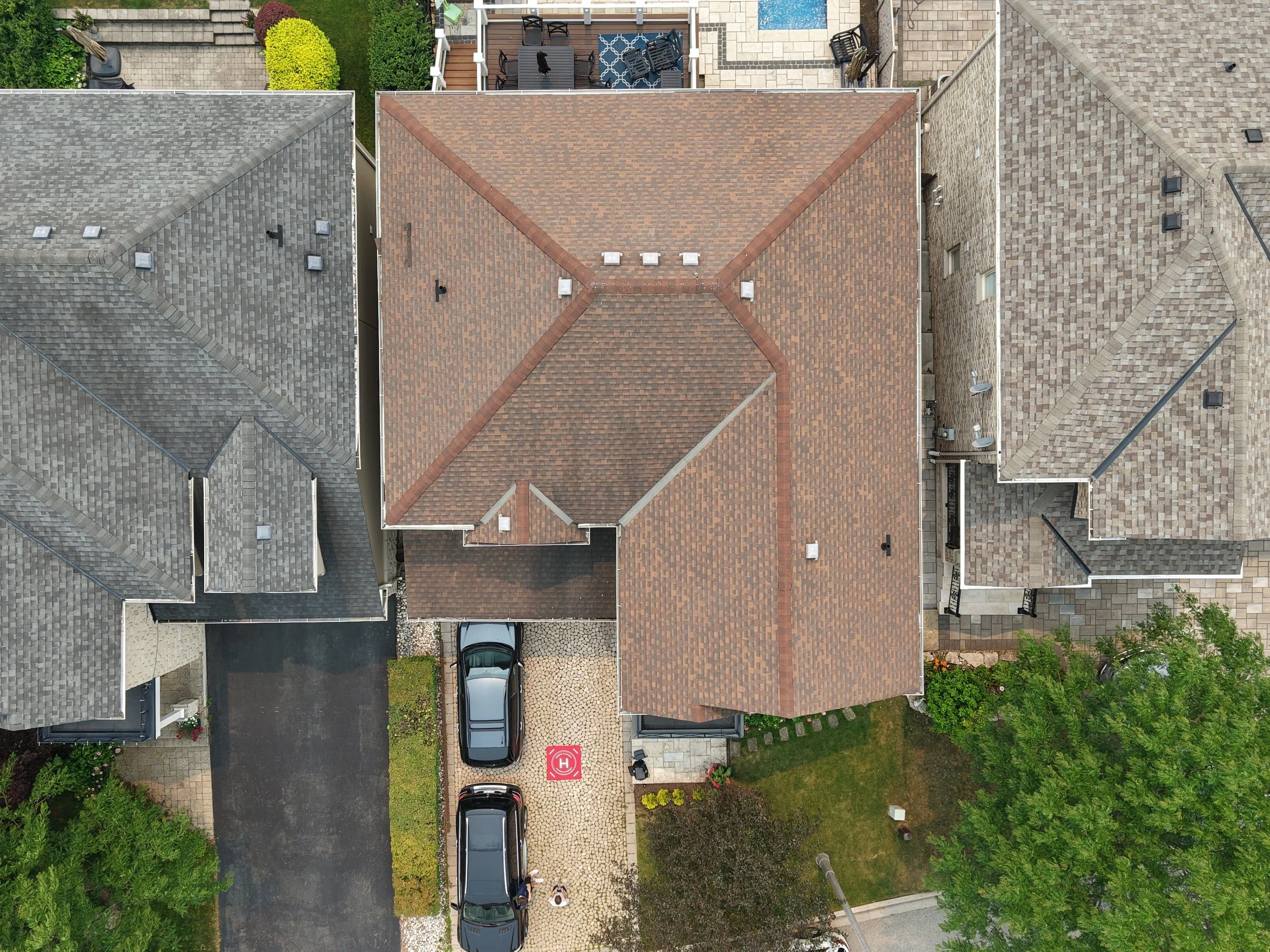
Site, Property, Roof, &
Exterior Documentation
Detailed visuals for roods, exteriors, and hard-to-reach areas for records and reporting.
Common uses
Roof and exterior imagery
Property and portfolio records
Pre-estimate imagery
Before work records
Project deliverables
High-resolution photos
Annotated overviews
Before-and-after comparisons
Organized file delivery
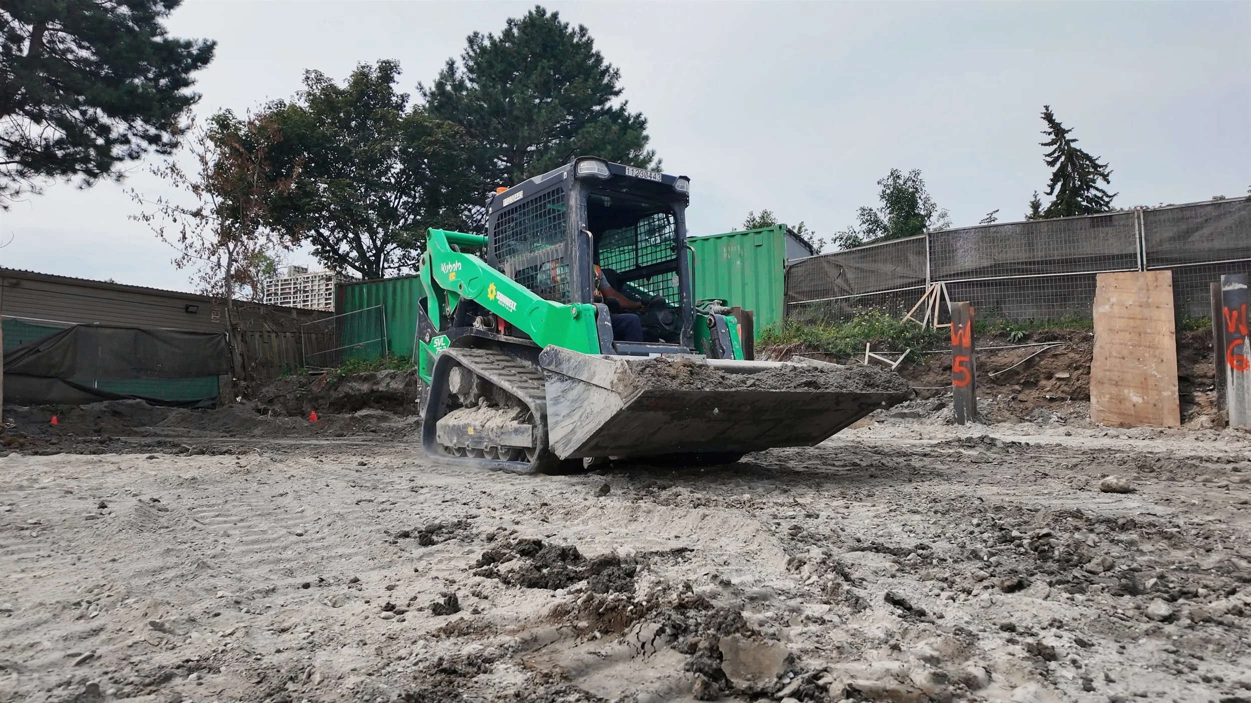
Custom Drone Capture
Tailored capture plans for unique projects and specific needs.
Common uses
Special projects
Large properties
Events & documentation
Combined marketing & documentation
Project deliverables
Custom capture plan
Photos and/or video
Flexible formats
Organized delivery
What every project includes
High-resolution photos and video
Capture plans
tailored to the project
Organized digital
delivery
Serving
Southern Ontario
Pricing based on the project,
not a one-size-fits-all package
Every property, project, and purpose is different. We’ll confirm your goals, plan the right approach and provide clear pricing before we fly.
Or contact us with any questions about availability, property suitability or what’s possible.
We provide aerial imaging and documentation services only. We do not perform inspections, engineering reviews, measurements, or on-site evaluations. Some deliverables may require site-specific considerations. Frequently Asked Questions
-
Getting started is simple. Reach out through our contact form, give us a a call or send us an email—we’ll walk you through the next steps and answer any questions along the way.
-
No. In addition to aerial imagery, Altispex can provide ground-level and indoor photography and video. These services can be combined to create a more complete view of a property, business, event or project—all within one coordinated content package.
-
Yes. We work with businesses, property professionals and individuals on suitable photography, video, documentation and custom aerial-imagery projects. Every request is reviewed for feasibility before it is confirmed.
-
Altispex serves Hamilton, Burlington, Oakville, Mississauga, Toronto and surrounding areas of Southern Ontario. Projects outside our regular service area may also be available depending on the location, scope and schedule.
-
Yes. Your project can include photography, video or a combination of both. We’ll confirm the required formats, editing and intended uses before the shoot so the content is captured accordingly.
-
We offer flexible pricing based on project type and complexity. After an initial conversation, we’ll provide a transparent quote with no hidden costs.
-
Your completed files will be organized and delivered digitally. Depending on the project, this may include edited photographs, video clips, finished promotional videos, progress comparisons, reports or other agreed-upon deliverables.
-
In most cases, we need permission to operate from the property and access to a safe takeoff and landing area. Indoor or ground-level photography may require additional access. We’ll confirm the site requirements and coordinate access with you before the shoot.